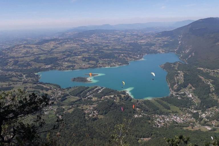
Mont Grêle via Col Saint Michel

Description
D/ Saint-Sulpice church parking lot.
1/ Climb out of the village on the small road, which soon becomes a good stony track. After crossing a wooded area, you come to an intersection above the hamlet of Les Michetons.
2/ Turn left on the track leading down to the hamlet and continue south-west to the next intersection.
3/ Leave the track leading down to Vimines on your left and turn right. Continue south to a new intersection.
4/ Turn right onto the Sarde road leading to the Col du Crucifix, and continue straight ahead on the Voie Romaine, which is now just a footpath. Leave a path on your left, and you'll come to a new intersection.
5/ At this point, leave the downhill path on the left and take the winding path to the Col Saint-Michel crossroads.
6/ Leaving the signs for Aiguebelette and Col du Crucifix, turn left onto the signposted path to Mont Grêle, 1h40 away. The route will take you past Les Soualets.
7/ Leave the left-hand path here and continue straight on.
8/ At Pré Garou, take the track towards Vimines and Saint-Thibault and after 1 km, to avoid the power line work, take the track that climbs to the right.
9/ Continue on this track to reach the crest, ignoring the tracks that start at each of the 3 hairpins.
10/ Close to the EHV line pylons, turn left towards the summit of Mont Grêle along a narrow path. Reach the summit.
11/ Return to the Saint Sulpice parking lot along the same route as the outward journey.