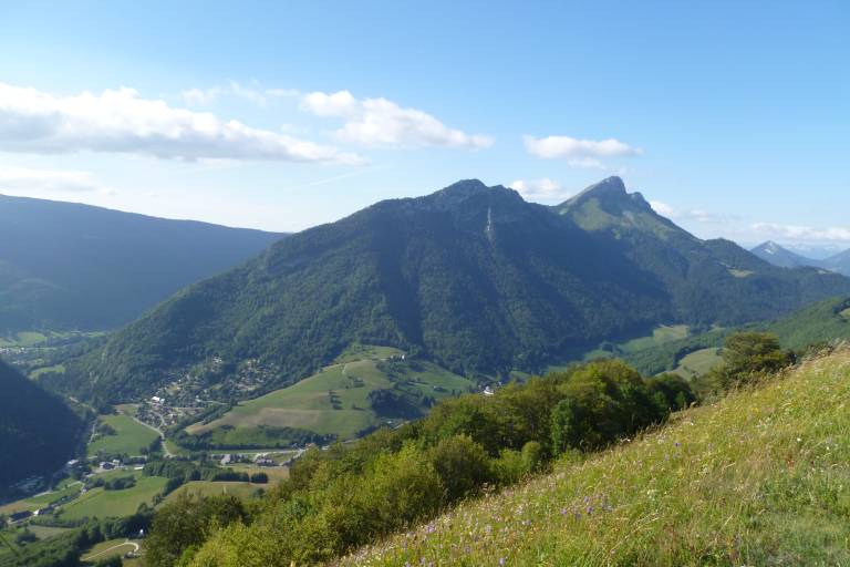
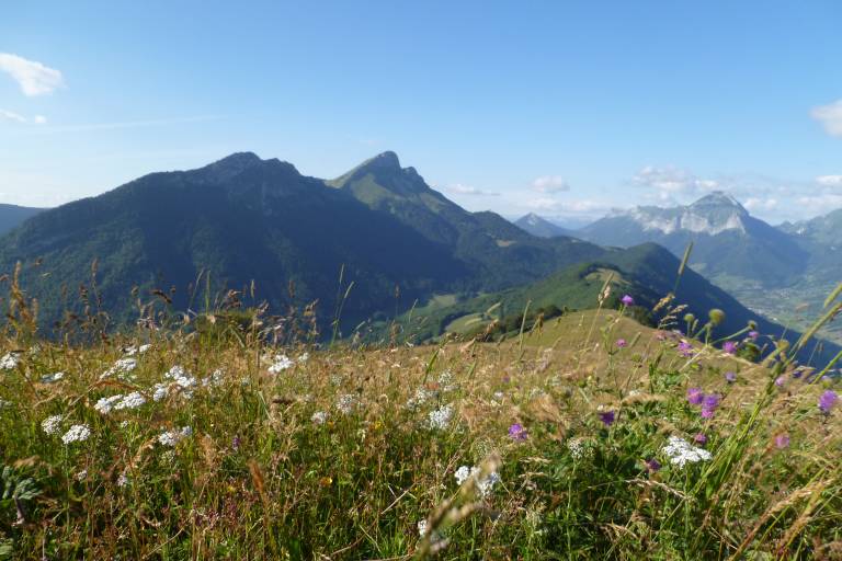
Mount Morbié and mount Pelat
Description
A steady hike from the village with a steeper final section up to the top of Aillons-Margériaz 1000 ski resort, at 1543m. Beautiful panoramic views await you at the summit !
Starting from the car park, take the path leading into the woods to avoid the tarmac road. This path comes out on the Sainte Anne track (Natural Park signpost). Carry on up this track for approximately 1km. As the track bends to the left at the bottom of the Mont Pelas chairlift (altitude 1,130 m), take the path to the right signposted "Morbié 45 min - Col de la Sciaz 1h05".
At around 1,245 m, go through an enclosure (waymarked with yellow arrows) and continue straight ahead (south).
The track follows a power line and comes out in Morbié (1,250 m).
From the Morbié Farm, ascend to Le Col de la Sciaz (20 minutes), then up to Le Mont Pelat (Natural Park markings, 1 hour).