The dry lawns of Mont Saint-Michel

Description
The hike begins in the village of Curienne, then climbs gently uphill. Go at your own pace, it's not a difficult route and there's so much to see!
You first arrive at the belvedere of the motte castrale, on the site of an ancient wooden fortified castle. The view of the surrounding mountains is magnificent!
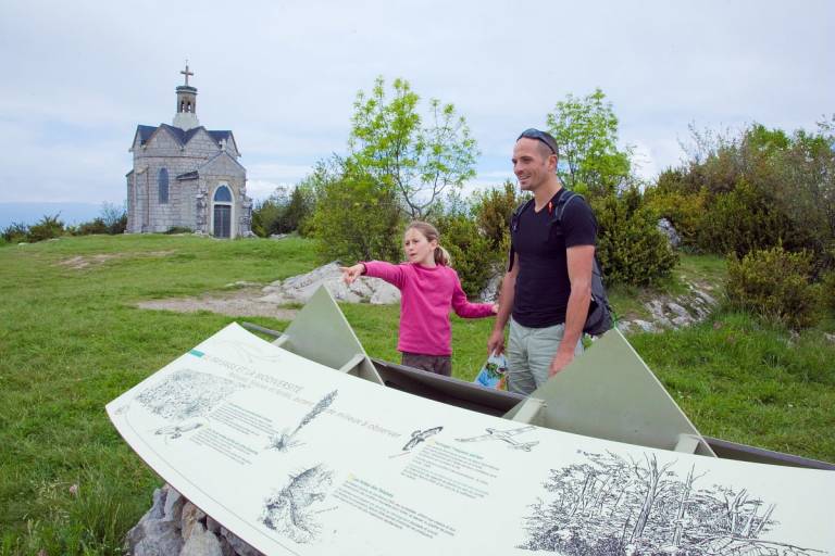
Return to the meadow. It's not spectacular at first glance, but take a closer look and observe the diversity of flowers, shrubs and insects that roam in all directions. What a richness! This type of environment is becoming rare in Europe, which is why this site has been classified Natura 2000.
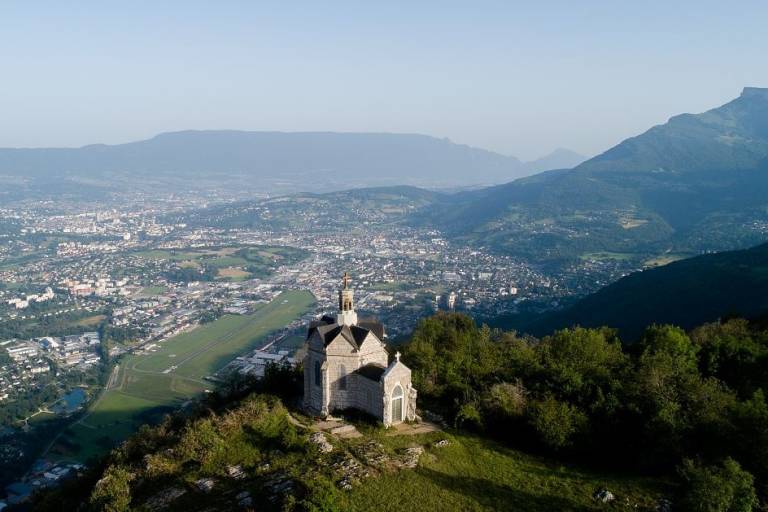
A little more effort on the last climb and you're at the Mont Saint-Michel chapel. A panoramic view of Challes-les-Eaux and the entire Chambéry cluse, all the way to the Chartreuse massif, awaits you.
Now you can head back down. And keep watching the orchids and butterflies - you probably haven't seen them all yet!